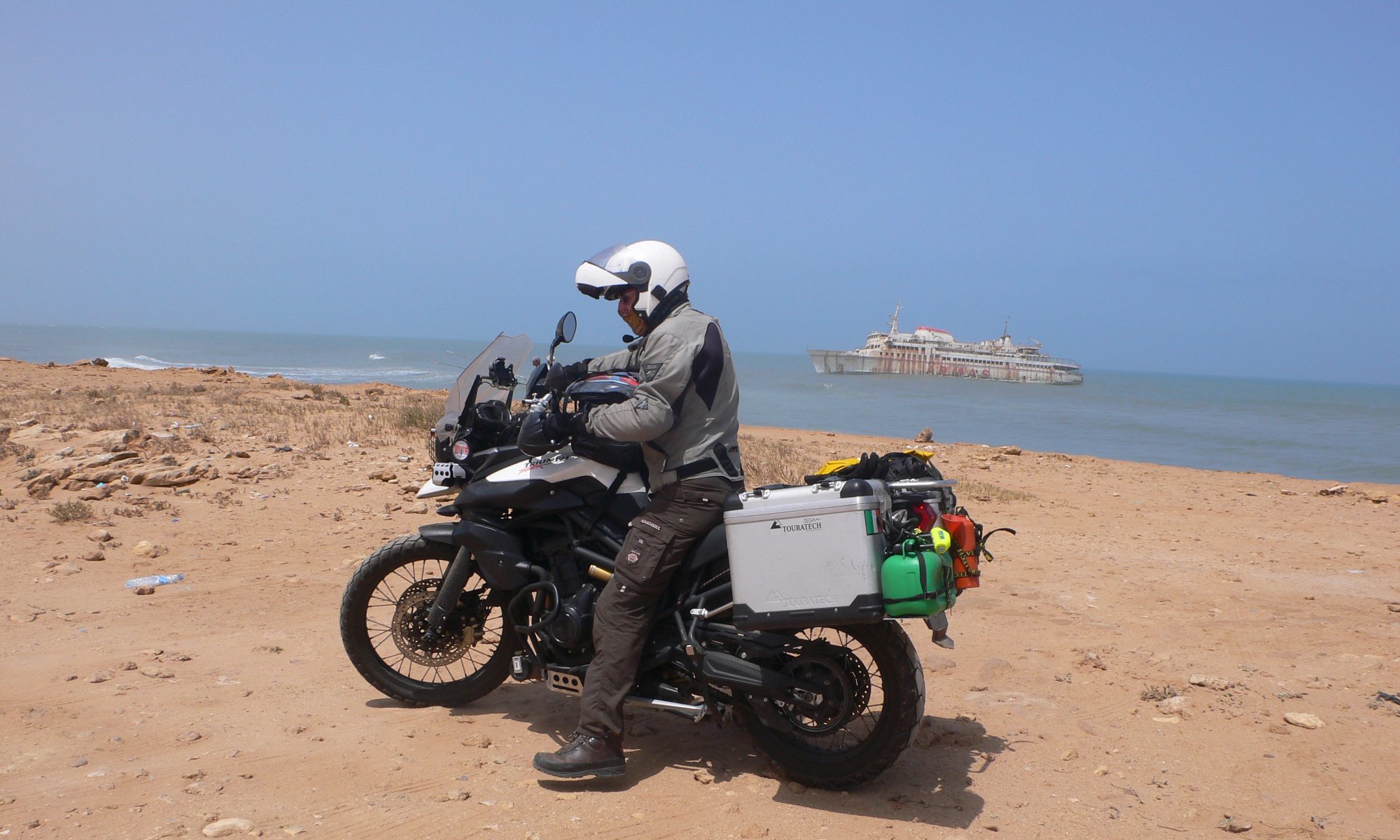

I was having a little problem with the bike ever since I picked it up in Cape Town. She was leaking coolant. This was really difficult to find, because it only happened when the engine was hot and the system was pressurized. So, I was slowly but surely checking the whole system out. Finally, I managed to find the problem and was able to fix it. Did this on the last bit of the Garden Route. Boxing day I put the plastic radiator side panel back on in JR’s garage. Then we went out for a ride. JR was going down memory lane and showed me some of his old spots. It was a fun ride.


27th of December I left Cape Town and headed up north on the N1. This is a main road or freeway running up to Johannesburg. It runs through an area called the Karoo and the free state. Karoo means “Place of thirst”. It is a semi desert region.

Clear blue cloudless skies and rolling arid flat landscapes rolling out into the distance, towards really small looking toy mountains that never seem to get any bigger or come closer. Truly Mad Max landscapes. The area is sparsely populated with towns far apart. The arid flat lands consist sometime of sheep and game farms. It is truly an unforgiving place, but it is the largest ecosystem of South Africa. It is a breeding ground for diverse species of life forms, that have adapted to the harsh conditions. It was hot. It is also home to the Karoo National Park, also an important breeding ground for both animals and birds.


Then the landscape slowly changes and also the weather becomes more bearable. We have reached “The Free State” or South Africa’s breadbasket. The arid desolate land gives way to cultivated crops and farmland. Its soil is rich, and its climate is good. This area produces 70% of the countries grain. The scenery is really fantastic. It is not all fertile farmlands. The spectacular Drakensberg and Maluti Mountain Range characterize this province. Also, the people are really laid back. I stopped in a place called Ladybrand close to the Maseru border post. This is a bridge crossing the Mohokare River, which forms the boundaries of South Africa and Lesotho. I wanted to do the border crossing in the early morning, believe me that is always the best time to do these crossings.


The South African border post forms the gateway to the bridge. In a way it was quite orderly, cars were moving fast. They just had to show their passports and drive on. I had to park and first get my passport stamped then had to find the South African customs to stamp my Carnet de Passage out of the country. The poor customs official looked in a mixture of shock, horror and disbelief at my Carnet book, he looked accusingly at me…. How dare I ruin his day. The truth was he didn’t know what to do with it. Lucky for me he took it to the office, and they did the stamping and he had to place the final one. Then we were off across the bridge to the Lesotho side. They stamped my passport but didn’t want to know anything about the bike. They just asked me if I had the papers and then told me to go on. Paid the compulsorily road tax and that was it….


I was in Maseru, Lesotho and then it started to rain and thunder. I wanted to buy a sim card for Lesotho so decided to find a hotel and stay the night. Anyway, it was impossible to go on, that storm was really bad. Storms come with very little warning in these mountains. I stayed in a hotel called Kick4Life. All the proceeds go to the football club that is dedicated to social change. It is their mission to transform the lives of vulnerable young people in Lesotho. They also have a woman’s team. Maseru is just another typical border town. I just did the necessary things like get a sim card and a data bundle.

Lesotho or the kingdom of Lesotho to give it its official name, is a landlocked country in South Africa. It is situated in the Maluti Mountain Range and is home to the highest mountains in South Africa. The name Lesotho roughly means “The Land of the Sotho”. It has a population of 2 million people spread over an area of some 30,000 Kms. One of the main means of transport is the horse and the donkey or pack mule. It is a fantastic sight to see those colorful people, wrapped in a colorful blanket, riding proudly on horseback. Horseback is also, sometimes, the only way that people can go from one place to another.

Lesotho is a kingdom with ceremonial king and a democratically elected government and president. Despite its high location it didn’t escape the invasion from the overseas countries. But they fought back and succeeded in repelling the invading armies and in the process uniting themselves against a common foe. The inhabitants of Lesotho the “Basotho-Sotho-Tswana” lived in small communities or chiefdoms led by their own local chief. In the early 19th century they slowly united under a great chief called chief Moshoeshoe. He was a village chief who rallied and united the people and time and again they successfully repelled the invading Boer forces. He also invited the first Christian missionaries into the country in exchange for Christianizing some of the Basotho traditions. These missionaries then fiercely defended the rights of their Basotho against expansion of the Boer. But ultimately, he was forced to sign an agreement with the Cape administration. Then once again the invading forces from the Orange free state proved too much for him and he was forced to sign away most of the lower fertile lands. This time he approached the British government in London directly and he signed an agreement for protection against the Dutch. Basotholand was then annexed and became a protectorate of the British. With the formation of the African Union in 1910 Basotholand was a British protectorate and avoided falling into the Cape Colony hands and escaped the Apartheid era. It finally got its independence in 1966 and is moving forward whilst still keeping to its traditions. The weather in Lesotho is extreme. This year is the “El Ninja” year. This happens once every 7 years and causes massive amounts of rain to fall, it has something to do with the ocean currents and of course a little bit of the climate change. This is coupled with thunderstorms. Only this year it is worse. But Lesotho has never been so green. Because of its high altitude it gets a lot of thunderstorms and electrical storms. This provides an amazing light show.

Another amazing phenomenon of this land is when slowly but surely, She reaches out to you embracing you in a cloak of tranquility, Pacha Mama, Mother Nature, the Goddess of the mountains, call it what you will but the peace and tranquility of Lesotho slowly settles into your very being. You slow down, take time, the “Kingdom in the Sky”, Lesotho, grabs you and wraps you in a blanket of tranquility. The pace of life here is really slow, the people are so relaxed and forever greeting you with a smile. This is one country where nothing happens fast.

I didn’t really want to spend the new year in Maseru so decided to go to a small place called Semonkong. There was a well recommended lodge there, so I decided to go check it out. They were fully booked up, but they said to me that they will always have place for a motorcycle and a small tent. The next morning I loaded the bike up and we set off. What a ride, it was brilliant. The scenery was out of this world, really spectacular. It is not for nothing that they call this country the Kingdom in the Sky. We were flying across the mountains, on a roller coaster ride and enjoying every minute of it. There was just too much to see, I was verging on a sensory overload, stopping after every bend to soak in the sights or to take a photo.


I finally made it to the Lodge and yes, they gave me a place for my tent. Dave, a South African biker whom I met on the road, was already there. Then a red Land Rover from Switzerland, driven by Joelle, arrived and the party could begin. The lodge had arranged for a traditional Lesothian group to play. They were really good. I spent most of the evening up at the lodge listening to the group and watching the locals join in. It was kinda strange, the majority of the people, who were staying in the lodge accommodation seem to stick together in the restaurant, eating and chatting amongst themselves, leaving the festivities to the locals and a few of the campers.

I really had a fantastic night. There were also a few different groups of young people, all South African, hell bent on drinking themselves to oblivion around their bonfires and Braai’s…. south African for BBQ’s. But it all seemed to blend in and didn’t interfere with each other’s way of celebrating.

New Year’s Day I got up at 4.00 am to watch a sunrise. Begin the year doing something completely different. The idea came from Joelle in the red Land Rover. I hiked up the mountain and found a spot. It wasn’t a really spectacular sunrise, but the feeling of the mountains, slowly coming to life, all around me was.


I did go back to sleep though for an hour or two.

I decided to hike up to the waterfall. This was a fantastic walk.

There were tiny little settlements or clusters of houses in the middle of nowhere. There are no roads just horse trails. There were horses at every house. The hike took up most of the day. I covered a total distance of 11 kms. At one stage I cheated, I hitched a ride on a horse for about 2 kms…. But even that was hard work. But it was a fun way to welcome the new year in. Though I have to admit I was exhausted.


I was planning on spending another day in Semonkong, just to relax. But in the morning when I awoke, I saw storm warnings for that area on my weather app. Decided to pack up and leave. The lodge was down a dirt track and to get out I had to ride up a steep rocky incline that with rain would turn into a muddy mess. So, it was pack up and go before the rain would hit.

I decided to go down to a place called Qacha’s Nek on the border with South Africa in the Drakensberg Mountains. Once again, a really nice run. The scenery is really spectacular.

Decided to fill the bike up before looking for accommodation. The first petrol station was sold out of petrol, he only had diesel. The next station was also sold out. In short no petrol in the area and no one knew when it would arrive.

Got a hotel and decided to sleep on it. In the meantime, two other bikers had arrived. Charlie from South Africa and Gregg, I think that was his name, from Norway. They were both riding small lightweight enduros and had done a really grueling 6 day offroad run. They were on their way to Semonkong with a stopover in Qacha’s Nek. They were also low on fuel.

The next morning, bright and early after I had loaded the bike, I went in to get breakfast and met Charlie and Gregg. Charlie had phoned the petrol station in Semonkong, and they also had no petrol only diesel. Now we really had a problem. But good old Charlie was on the ball. He and Gregg went into town to see if they could rustle up some petrol. They returned with a guy who started running around and phoning around. Even the manager of the hotel got involved. End of story, a wee man in a shed some 38 Kms away on the road to Semonkong could supply us with petrol. We all left together and found the guy. This guy had a shed with drums of petrol and was dishing it out in 5-liter cans. This is normal in the country.

There were only two petrol stations in a 110 km radius so the locals buy from these jerry can vendors. We filled all 3 bikes up with 40 liters. I took 15 and the rest went to the two off-road riders.


We then parted company as I was going to a town called Roma and they were going to Semonkong. I was originally going to take the A4 and the A2 to Quthing and Morija. But the risk of no fuel on that route was enormous, so I changed plan again. I carry a jerry can with 5 liters reserve but it was empty as I had to do some offroad bits and I wanted to save on weight plus all the petrol stations on my route were well in range, if that is, they had petrol. The jerry can was for the more remote areas of Africa. Now, however I have filled my jerry can up for safety.


I arrived in Roma just as the afternoon rains started, it tipped it down. I filled the bike up at the first petrol station and then started looking for a hotel. I wanted to stay in an old trading post, called the Roma Trading Post, that dates way back 4 generations. To get there I had to go up a unsealed road that was rutted in places and because of the rain muddy. That place, however, was closed.

But I was following signs for another lodge that was deeper up the mud road that was turning into a river. Finally made it and it was worth it. This place was on top of a hill and secluded. I got a little chalet and got out of my wet riding gear. This place was really secluded and on the outskirts of town. Luckily it had a restaurant. I decided to spend two nights there.


Roma is surrounded by magnificent sandstone cliffs and basalt mountains; all this is towering above the Roma valley that is really fertile. It was really scenic. The next day I hiked in the mountains. Went to a place where there are Dinosaur footprints. These were originally made in mud, but over the years they have fossilized into sandstone rock. Roma was founded in 1862 by the catholic missionaries. They also founded the National University of Lesotho, and it is still there to this day.


My plan was to take the A25 to Katse dam. The A25 is a really spectacular road crossing high mountain passes with some really fantastic scenery. But with the weather that was not a smart move. Really bad weather was forecast for the next two days so I decided to go the Masaru. I also needed to get some more data on my phone. Masaru is becoming a familiar place for me and once again I stayed in Kick 4 Life. Left the next day to go to Katse dam. But unfortunately, a slight mishap occurred. First were storm warnings for that area and also my throw away phone fell out of the holder on an extremely bad section of road. By the time I noticed it, it was too late. This phone has the local sim card in it, and I use it to supplement Holly, my navigation unit. I returned to Maseru, remotely blocked and locked the screen with a permanent message saying that it was lost, and I will give a reward for its return. I could track it to a town a good bit away, but they had switched it off and I didn’t have its precise location. To be honest it wasn’t really worth the agro to try get it back. This would be an impossible task anyway. I bought another cheap phone and a new sim card and was good to go again. I have a really bad reputation with phones… I either break them or lose them. I have now modified the holder with an additional security strap. I have two telephones, my good phone with my Dutch sim in it and a cheaper one that I put a local sim in and use it to navigate in towns and cities. My good one is always secured away. If I get pickpocketed or robbed the cheapo one is the one they get, hmmmnnn they would then probable give it back to me out of pity along with some money to buy a decent one.

But as it turned out everything was for the good. The weather cleared up and I set off. I took first the A1, boring stretch of road, then changed to the A25 and then the good times begun. This is a fantastic road. It twists and climbs its way up into the highlands reaching altitudes of over 3000 meters. The scenery is just out of this world. Life slows way down. There are mostly sheep and horses on the road, and it seems that around every corner there is a little waterfall.


I stopped off in a place called Lejone. I stayed in the Motebong lodge and what a stay! It was nestled in a valley on the banks of the reservoir. I rented a little chalet overlooking the water. I had the best sleep that I have had for the past while. Booked another night. Need to do a few chores. Catch up on the blog and photo albums for one. I make notes every day and when I have time, I start writing the blogs and making the albums, all this is done over a week or two. When I have good Wi-Fi, I post. Tiggy Moondust is also equipped with a Klingon cloaking device, for when I am parked in busy places, and it needed fixing. Duct tape to the rescue.


Once again, the weather changed and the oh so familiar storms suddenly started again. Time to head back up to Maseru and back to South Africa.


On the way to Maseru the weather started to get hotter and hotter. By the time I reached town it was 38c.

Once again, I stayed in Kick 4 Life. The next morning packed up and headed to the Maseru bridge and the border. Again, all went smooth and quick. That is until I got to the South African customs. They passed it around like a hot potato. I showed them how to fill the form in and where to stamp it. The carnet is my responsibility. If it is filled in wrong, it can lead to problems. One thing that really amazes me is that the officers all seem to have a really good humor and are totally relaxed.


I went straight to the Cranberry Cottages in Ladybrand. That is the same hotel where I stayed last time. It is a beautiful place with some really beautiful people working there. Once I arrived, I got a big welcome hug from Sherrylee. Their rooms were fully booked up, but they gave me a good deal on a family cottage in the gardens. This was really beautiful. Ladybrand is a small town that has died out to a large extent. Most people go over the border and shop in Maseru. But somehow it still contains a lot of charm and magic. It seems that the Lesotho vibe spills over the border and covers the town in it’s blanket of tranquility.

If you would like to see and experience a small part of this incredible little country, “The Kingdom in the Sky“, then make a nice wee cup of tea, fluff up your cushion in your favorite chair and click your way through the like named photo album on my Facebook page:
Facebook album Karoo and Lesotho 27-12-2022 to 11-01-2023
Soak up the magic of Lesotho. Also check out the New Year’s party videos.
Thank you for following, liking and commenting on the posts and albums. In short thank you for sharing the trip with me, much appreciated.
Following you and love reading your very well written blog. The photos are breath-taking.
Looking forward to the next one.
Stay safe Vince and happy days!