
(Ha long Bay 19 February 2024)

Ha Long Bay …. meeee
I had a really good ride and a fantastic time on the Ha Giang Loop. It was memorable. Now back in the city of Hanoi it was time to plan the next stage of the journey, Northwest, Central and South Vietnam. For this I needed a good bike. We are going to do at least 4,000 kilometres, over all types of roads, in all types of weather. From mountain passes, single track mountain roads to dual carriageways. I decided to give up on the idea of buying and went for a talk to two major hire companies in Vietnam. Tigit Motorbikes and Motorbikes. Style made me an offer that was really OK. I could take a Honda XR 150 L for a period of two months and drop it off in Ho Chi Min city. They also gave me the opportunity of buying a damage weaver. After a good talk I agreed on the spot and reserved a one-year-old Honda that was due back in a couple of days. Now I had time to explore Hanoi, see previous post.

Meet Ho Pho Da, the lean mean Asian travel machine, loaded and fueled up, ready to Ride Live and Explore. A Honda XR 150 L
Whilst in Hanoi waiting for the bike, I also did a day trip to Halong Bay, an UNESCO world heritage site. This is another massive tourist attraction. You can take a day and a night cruise or two-night cruises or just a day cruise. I opted for doing just the day cruise. Pick up was at the hotel and we were ferried to Halong harbour by minibus. First was a stop at an oyster farm. Here oysters are cultivated for their pearls. We visited the government one. This was created to give work to fishermen that were displaced from Halong Bay due to restrictions on fishing. We got to see how they extract the pearls and the different types of pearls. Of course, there was also a big shop where you could buy pearls and jewellery.

This young lady is extracting a Pearl from an Oyster
Then onto the boat. Our group was small, so it was good.
Then onto the boat

Sandstone rock formations Halong Bay

Sandstone rock formations Halong Bay
First stop was to visit Tip Top Island to climb 400 steep steps to a viewpoint offering an amazing view of the bay. Or just laze on the beach. I opted to climb up to the vantage point and it was worth it.

View from Lookout Tip Top Island
We had a stop in Luong Bay to either go kayaking or bamboo boating to explore this really nice little bay. It can only be reached through a low narrow water tunnel.

Entrance to hidden bay

Tunnel to Luong Bay

Our rower…
Then on to Sung Sot Cave. This is a large cave that was discovered by the French in 1901. They were so surprised at the sheer size of it that they called it Surprise Cave. It has an impressive array of stalactites and stalagmites. To get to the cave you have to climb a lot of steps then down the stairs into the cave entrance. But it is worth it. Lunch was on the boat, and it was really good. In the afternoon we had snacks and drinks and then a cruise back to Halong with the sunset on the way. Unfortunately, we had bad weather. Heavy clouds and a little rain. It ruined the sunset, but the bay was still really good. The rock formations and the islands in Halong Bay are truly spectacular.

Sung Sot Cave

Sung Sot Cave
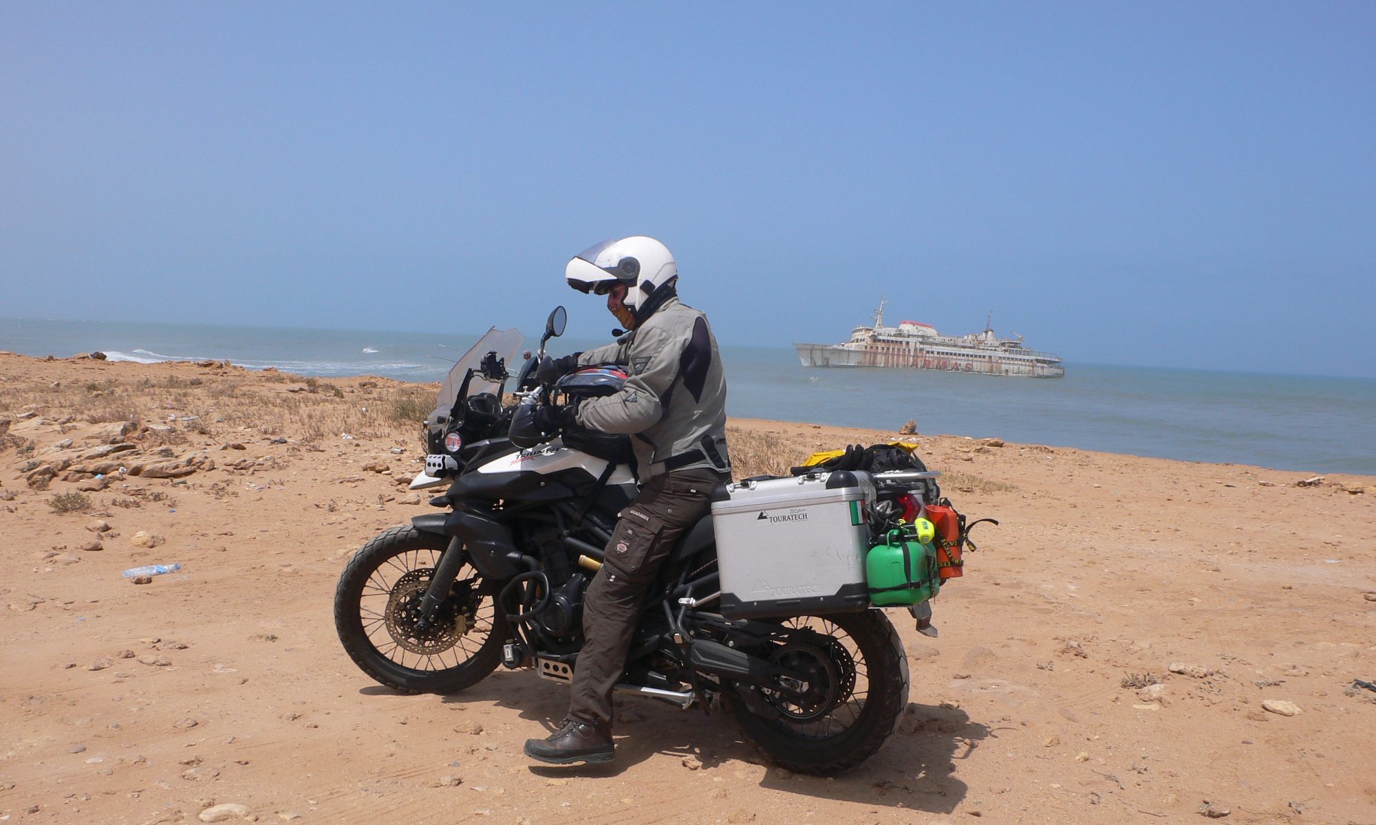
Finally, the day arrived when the bike was ready, and it was time to pick it up and set off. The pickup was also really hassle free and friendly. There are a few photos of the bike in the like named photo album. The bike’s name is “Ho Pho Da”. The lean mean Asian travel machine loaded and fuelled up, ready for adventure.

Ho Pho Da
I left Hanoi in mist and rain. I was going to Sa Pa in the Northwest. I stopped for the night in Yen Bai on the Thac Ba Lake. The next morning was wet. I rode most of the way to Sa Pa in heavy mist and rain. Just before Sa Pa the weather cleared and the further North that I rode the scenery was changing and becoming breath-taking. But unfortunately, the weather caught up with us again. I awoke the next morning to heavy mist and drizzle. The whole mountain was covered in clouds. You couldn’t see the other side of the street. I had originally planned to do one day trekking and another day to take the cable car up to the highest mountain in Vietnam, Fansipan Mountain.

On the way to Sapa … Roadside market

Sa Pa lies at an altitude 0f 1,600 mt above sea level. It was a place loved by and frequented by the French during the occupation of Vietnam. It is a major tourist attraction with countless hotels and homestays. It’s a bit like what Las Vegas is to the desert, Sa Pa is to the mountains. It is a blaze of multi-coloured led lights at night. Every building is lit up. The streets are clogged up with tourist buses arriving and dropping people off at the countless hotels. I really have to admit that I just didn’t click with this place. The problem was that I had a fantastic experience in rural North Vietnam over the Lunar New Year, and this just did not feel right. I also had planned to ride around the mountain visiting the little tribal villages. But on checking the weather forecast for the area that plan went out the window. Mist and then heavy rain was on the way. I decided to change my route and head down, slowly, to central Vietnam. I have to admit that I am really glad that I done The Ha Giang Loop and the Happiness Road, nothing can compare to that.

Sa Pa, it is a blaze of multi-coloured led lights at night

Sa Pa Clocktower

Sa Pa Market
Local Sa Pa
Next stop was a place called Mai Chau. This whole area is taken up with paddy, (rice) fields. Rice is cultivated wet here in Vietnam, this yields a higher tonnage per acre than dry growing. In Vietnam rice is one of the major sources of income and it is grown widely. What is also unique is, that it is still grown and harvested in the traditional way. Wet paddy field grown rice is labour intensive, but it provides a source of income for large communities. Rice is planted in the fertile fields and then flooded with water. This can be done by pumping water from a river or irrigation channel either by water wheel, pump or an elaborate system of locks and dams. Two crops a year are planted and harvested. The growing time is about 4 months. It is an amazing sight to see the rice being harvested and planted. People still use wicker baskets strapped onto their backs, or two baskets on a long pole that is balanced across their shoulders, utilizing the fulcrum principle. It is a tranquil scene. Buffalo are used extensively here in tilling the fields. I spent 3 days in Mai Chau. Hiking the rice fields, there is an elaborate system of walkways across the narrow dams separating the fields.


Rice fields Mai Chau

Buffalo are used extensively here in tilling the fields…Mai Chau
I also made a day trip, with the bike, to Pu Luong Nature Reserve across the mountain from Mai Chau. In Pu Luong they use an extensive system of bamboo waterwheels that irrigate the paddy fields using an elaborate system of bamboo poles, these are hollow on the inside. To understand this better look at the like named photo album.


Road to Pu Luong

Waterwheels Pu Luong

Bamboo irrigation pipes
In Mai Chau I stayed in a homestay. I rented a little hut in the rice field. Once again it was a communal dinner that was really plentiful and delicious. But the nicest part about these are the fantastic conversations and meetings that you have with people. Two couples stand out a Spanish couple, from Barcelona, Maria and Arneau. They were travelling on a Honda Blade, semi automatic, scooter. They were on their way from Ho Chi Minh, former Saigon, to Hanoi on the tourist route. They were gonna sell the Blade in Hanoi and carry on to India. I got an app from them saying that they were in Varanasi, so they made it. Then a really nice Irish couple from Galway, Lanna and Kevin. They were two up on a Honda XR150. They were also on their way to Hanoi.

Homestay Mai Chau

Me in Mai Chau

Ho Pho Da on Homestay Mai Chau

Wild Cave Mai Chau

Building a new waterwheel


Working on the rice field Mai Chau
I had to cross the mountains again to get to my next destination, Ninh Binh. It was cold and wet on the top. I met some young local kids heading to Mai Chau on scooters. They had lit a wee fire to warm themselves up with. Needless to say, I joined them. There were a few things that I had to do in Ninh Binh. I needed to do a small service on the bike and change the oil. The bike had done 1,000 km since Hanoi. I also needed to pick up two spare inner tubes. I lost mine in Sa Pa.

Bikers getting warmed up on the way to Ninh Binh

Stopped to get warm

Lookout on the way to Ninh Binh

Ninh Binh, service for Ho Pho Da… 1,000 kms since Hanoi
I made a day trip around the area with the bike. One interesting stop was a small temple just outside of Tam Coc. Outside, across the road, was a well with statues of the animals of the Chinese astrological zodiac, in a circle around it. Something that fascinates me. I went inside where a ceremony was taking place. This is Chinese Buddhism. I talked to the Monk that lived there, that was really interesting, it was a unique person.

Tam Coc, the boat people row with their feet

Tam Coc Chinese astrological signs around a well, outside of a temple
Tam Coc Temple

Tam Coc Chinese temple

Tam Coc

Tam Coc
Next on the itinerary was Cat Ba town on Cat Ba Island. First to a big city called Haiphong to get the ferry to the island. I had rain and fog the whole way. Then disaster struck, just before the harbour my phone died. The screen went dead. It was already cracked before. I had to navigate the last bit the old-fashioned way, stopping and asking. Nobody spoke English so it was a combination of gestures, but we made it. There were not many roads on the island so that was easy. But I used my good phone, that is not online but has an app called MAPS.ME. This is an offline navigation app. I download the local maps on both my phones when I have Wi-Fi, as a backup.


Once in the hotel I put the Vietnam sim into the good phone, and it was off to find a repair shop. This was successful and my old phone was resurrected from the dead, transferred the sim back and we were off. A rugged jungle clad limestone mountainous island, Cat Ba Island is the largest island in Ha Long Bay. It is a tourist destination that has seen a rapid rise in tourism in the last years. Unfortunately, it has also a lot of scams aimed at the innocent tourist.

Cat Ba Island

Cat Ba Island

Cat Ba Island

Key cutter, he was making me a spare ignition key for the bike…
One of these is a well-known location called Cannon Fort. It has a free entry but there are some locals hanging around and they demand money to enter. They give no ticket. If you don’t pay, they can get quite heavy. I just turned around and walked away as did another group of tourists. It is a shame but that is the unfortunate other side of life. I rode around the island visiting a few of the lookouts. One of the most chilling places was Hospital Cave. This is a natural cave in the side of a jungle clad mountain, and it was used by the Vietnamese army to treat the wounded during the Vietnam America war. It was also used as an air raid shelter. Entrance fee includes a guide, and he explains how it was in those days. Shortage of medicines and equipment, malaria epidemics, shortage of food and the constant bombing made life difficult.

Cat Ba island, road stop for lunch

Hospital cave Cat Ba Island

Hospital cave Cat Ba Island

Hospital cave Cat Ba Island
The island is reached by a short ride on a car ferry. These are rickety old boats that go backwards and forwards virtually nonstop. There are separate boats for foot passengers. There is also a cable car, actually the world’s longest cable car with a length of nearly 4,000 meters, that connects the mainland with a point on the island. But it only operates from April until October. It is fairly new.
If you would like to experience the sights of Northwest Vietnam then fluff up the cushions in your favourite chair, make a nice wee cup of tea, grab a nice cream cake and click your way through the like named photo album:
Facebook album North West Vietnam and Ha Long Bay 22 February to 6 March 2024
Now it is time to head on down South. To do this we will be using the Ho Chi Min Road. But that will be the next update.
Thank you for reading the blog, looking at the photo albums, clicking, commenting and liking. I appreciate it. Thank you for sharing the journey with me. My real time location is Phnom Phen in Cambodia.
Tạm biệt tạm thời nhé, Vietnamese for Bye Bye for now ![]()
![]()
![]()